I have been using NG TOPO and have been happy with it. I have no idea if it is the best or not. I have been able to find previous releases cheap on Ebay. I do not know what has changed but since they are made from scans of USGS maps which are several years old I don't think that I am missing anything. I have also been able to find GPS coordinates for many of the trails that I have been using so I have been able to create a map for my destinations.
Registered: 01/22/09
Posts: 60
Loc: Texas Hill Country
You can download any TOPO for free from the USGS store in PDF format. Printing entire maps on 11x17 paper works pretty good or you can print partial maps on smaller sized paper.
Registered: 02/26/07
Posts: 1149
Loc: Washington State, King County
I switched from NG Topo to memory-map --- I like their windows mobile app on my smartphone better than the one for NG Topo, and with memory-map (and upgrade to their base product) I can import free maps from places such as libremap, or buy them on DVD from memory-map.com
Overall the tools are similar; NG Topo used to be buggier. It was primarily a cost decision to switch, as I wanted to get maps for the entire Appalachian Trail (14 states) and didn't want to pay NG Topo prices for all of that. I haven't used memory-map extensively, but what little I have used it it's performed well, and their customer service was very good too.
finallyME
member
Registered: 09/24/07
Posts: 2710
Loc: Utah
Under "print from your computer", I click on "landscape". This puts it in a picture format. Then I usually copy it to a word document and print that. You could just print the photo. It ends up what I would do to a USGS map that I would have purchased. If I buy a full size map, I usually copy the parts I need and take the copy, not the full map. I can also print multiple copies of the same map and give my boy scouts a copy for themselves. I used to do the same with Libremap project, but this site is easier for this purpose.
Edited by finallyME (02/23/1010:30 AM)
_________________________
I've taken a vow of poverty. To annoy me, send money.
IamClovis
newbie
Registered: 02/23/10
Posts: 7
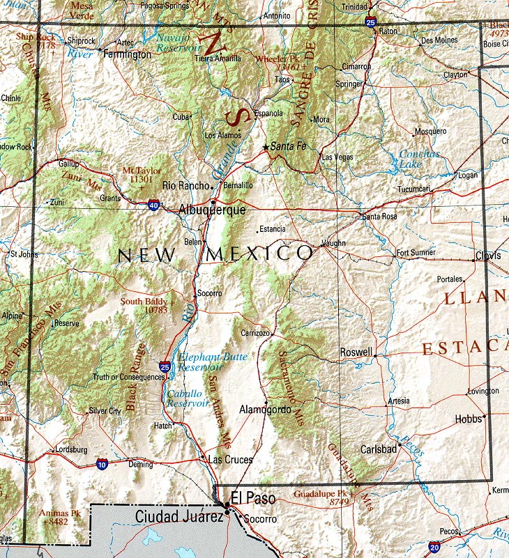
Loc: New Mexico
Originally Posted By RHodo
You can download any TOPO for free from the USGS store in PDF format. Printing entire maps on 11x17 paper works pretty good or you can print partial maps on smaller sized paper.
WOW! This thread has opened my eyes on available topo maps. I have a Garmin Colorado and the maps in my computer but often you want more detail and versatility. That's what I like about Memory Maps.
Eric
_________________________
"There are no comfortable backpacks. Some are just less uncomfortable than others."
Yep I just moved out here from Michigan. Fresh outta college.
Awww, how I miss New Mexico. I am originally from Ohio, spent ~19 months in NM, and now stay in Florida. It was NM that got me started in backpacking. My favorite place to visit was White Sands, and favorite backpacking was in the high deserts of the north. (SF, to Taos areas)
As for topo maps, I also download mine from the USGS store. I then use Acrobat reader with GeoPDF plugin (now called TerraGo) to view them. This was a great solution with my netbook and GPS reciever for it, as I got great GPS with a 10" screen and good, free maps. However, now that I am going to focus on packing lighter, this is not going to be as feasible.
What is the resolution of the PDF? Is it as good or nearly as good as the original map?
All of the ones I have downloaded, seem to be as good as the original map, but I have not printed one. They are listed from 21x25 inches or higher and from 4.5-10 megabytes.
I have scanned USGS 7.5-minute maps at about 100 to 150 dpi and they end up about 1Mb per quarter of a map (or about 4 mb for an entire map) when I convert to PDF file. This resolution is pretty good. The lines start to get fuzzy when magnified past 500% in Adobe Reader. These print up pretty nicely. When I scan, I do not scan the white area of the margins. So if the downloaded PDFs show the entire border area, you lose some resolution, but it should still be OK.
To save on weight, you could also print on both sides of the paper. Just be sure to not print an adjoining map on the back side. It is nice to place them side-by-side. I print quarters of 7.5-min maps on regular letter size paper and this works out very well.
One thing to consider, is that if printed on regular paper, with home printers, the ink will run and smear very badly if the map gets wet. I am not sure what the USGS does on their regular maps but they can get wet and the ink never runs or smears. There is waterproof paper but it is expensive and heavy.
I am curious- has anyone tried to "seal" printed maps with a mix of Silicon sealer and mineral spirits, like they recommend for seam-sealing tents? There might be some spray stuff out there that prevents the bleeding problem.
OregonMouse
member
Registered: 02/03/06
Posts: 6800
Loc: Gateway to Columbia Gorge
I just keep my home-printed maps sealed in a gallon ziplock bag. Lots lighter than laminating or that stupid heavy, almost unfoldable waterproof paper (like the almost useless Earthwalk Press maps of the Wind Rivers). If you have to move a new map to the top top, do the unsealing in your tent or with your rain jacket spread out over both your head and the maps. I've seen some map sealer stuff you can paint on maps, but I prefer plain paper plus plastic bag. The package folds up more compactly and I can write on the maps in case of need.
I have the National Geographic TOPO software for WA and OR and last spring ended up buying the Wyoming set on sale.
Edited by OregonMouse (02/28/1007:10 PM)
_________________________
May your trails be crooked, winding, lonesome, dangerous, leading to the most amazing view--E. Abbey
Eric
member
Registered: 09/23/02
Posts: 294
Loc: The State of Jefferson
I spray the map printouts with Krylon Clear Acrylic. It doesn't make the paper water proof but it keeps the ink from running if it gets a few drops of rain.
finallyME
member
Registered: 09/24/07
Posts: 2710
Loc: Utah
I print my maps on normal 8X11 paper and put them in a plastic sheet cover. Then I heat seal the end that was open. Sometimes, I have several pages and just leave the top open and put all the sheets in one sleeve. I keep the map under my jacket in the rain, and take it out occasionally. This is generally enough protection. Most my trips are overnight. I would be more substantial for longer trips.
_________________________
I've taken a vow of poverty. To annoy me, send money.
Our long-time Sponsor, BackcountryGear.com - The leading source for ultralite/lightweight outdoor gear:
Affiliate Disclaimer: This forum is an affiliate of BackcountryGear.com, Amazon.com, R.E.I. and others. The product links herein are linked to their sites. If you follow these links to make a purchase, we may get a small commission. This is our only source of support for these forums. Thanks.!


 Previous Topic
 Index
Index


