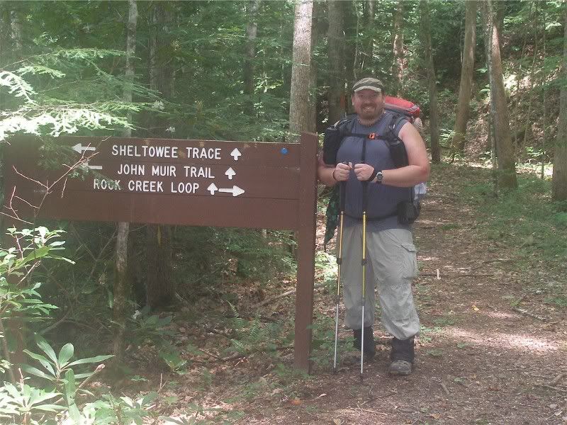
The John Muir Trail of Tennessee is broken into two segments. The eastern portion is a 20-mile stretch just south of the Kilmer-Slickrock Wilderness. The portion in this trip report is the 40-mile section which runs through Big South Fork National Recreation Area and Pickett Rustic State Park.
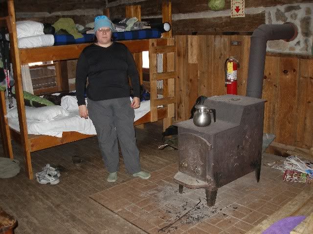
I hiked the first 18 miles in January, but bailed out due to near-record low temperatures and the fact that my wife was a mere 4 miles off the trail at Charit Creek Lodge.
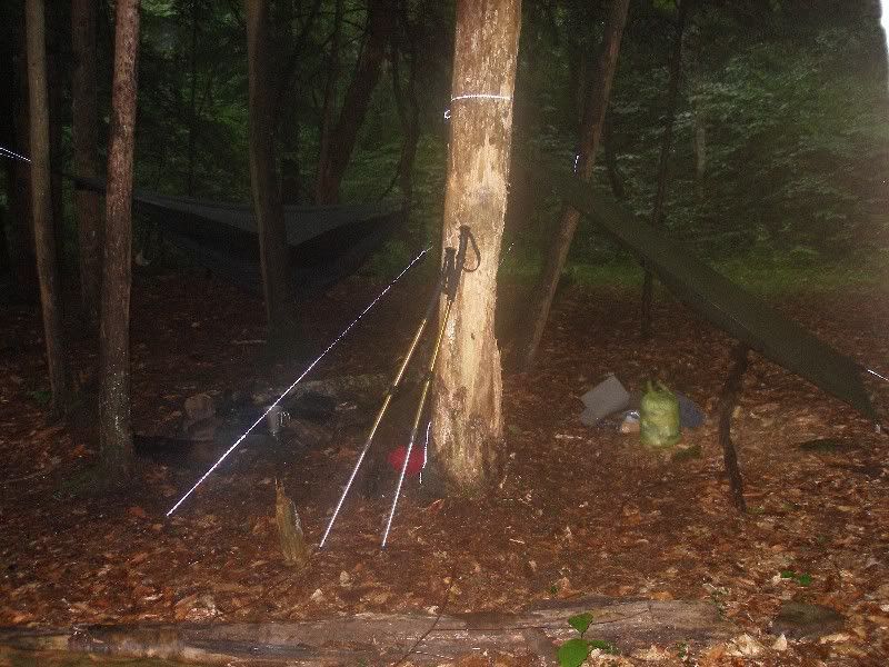
(My chilly camp for the night)

(The much more pleasant option)
Now I was back to finish the John Muir Trail, starting from the Pickett Rustic State Park side in the west.
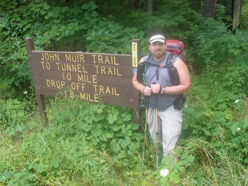
By �rustic�, the park means they offer primitive camping, but not developed cabins like most Tennessee State Parks. It also means intentionally rough trails with minimal blazing.
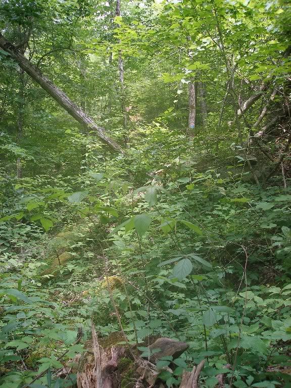
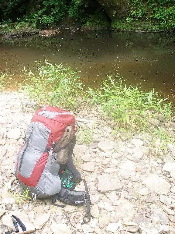
I ran afoul of these conditions on my Sheltowee Trace thru-hike a year earlier. But now I was prepared for them and weathered the rough 2 miles until I could enter the more well-groomed National Park Service trails of Big South Fork. I was greeted with a perfect swimming hole right next to the point where I entered NPS land.
I reached a decent site and set up my comfortable hammock camp about an hour before a heavy thunderstorm rolled in.
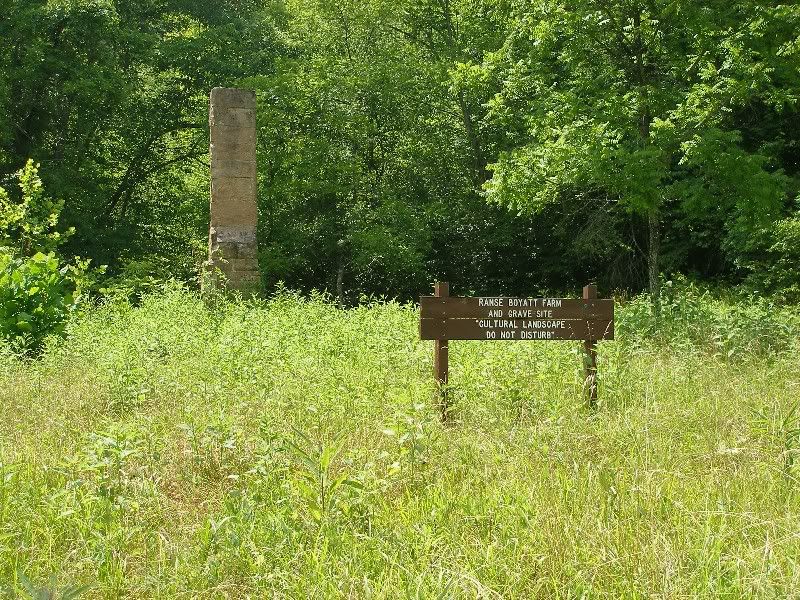
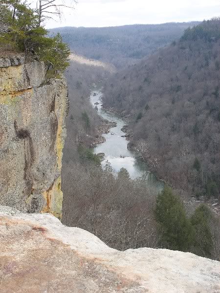
The next day I packed up in the last sprinkles of the storm. I covered 10 miles in about 4 � hours, with stops to enjoy John Muir Overlook�

�and Boyatt Farm site.
But as early as 2:30, I was feeling the effects of the 90+ degree temperatures. I was glad to set into camp for the day after 13 miles. I was able to dry all my gear, clean up in the creek, eat, read, rest, and so forth. I also schemed on options once I reached the Charit Creek Bridge where I got off the JMT in January. I had a couple of shorter options back to my vehicle at Leatherwood Ford than the official JMT which I has already hiked. I decided to make my decisions based on how I felt the next day.
At 3:30 AM, the skies opened up and thunder and lightning pounded down. By the time I got up a bit after 6 AM, I was ready to consider leaving the backcountry that day rather than the next.
I stepped off at 7:20 and make great time the 7 miles to Charit Creek Bridge as a massive thunderstorm rolled in.
I chose to push hard the .8 miles to Station Creek Crossing to see if I could ford the Big South Fork River. I�d crossed with no problem (calf-deep water) during an adventure race there in September 2001 when water was at its autumn low. But now, I wondered if it was doable in early July after a few days of rain. I decided to find out.
As I stepped into the water, rain began to pound down, and I could hear thunder in the distance. I crossed tentatively, but the even gravel bottom and water which reached just above the knee allowed for a relatively easy crossing between the two columns of large boulders poking out of the water as a guide to horse riders who routinely cross here.
Once on the other side, I made outstanding time down the flat, wide 8-mile-long horse trail known as the River Trail heading back to the JMT Trailhead at Leatherwood Ford. 6 miles in, I stopped to snap a picture of Angel Falls.
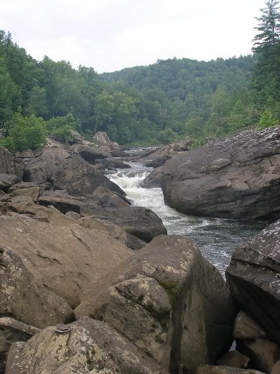
It was a much different view from the one I enjoyed six months earlier from Angel Falls Overlook on the west side of the river.
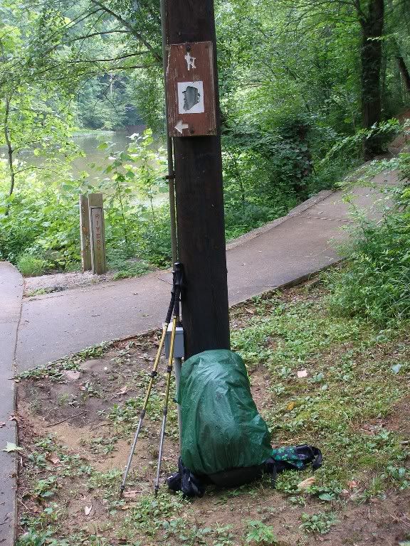
Another 2 miles, and I was back at the Leatherwood Ford JMT trailhead.
I was glad to have finished the JMT, and even more happy to have done it in 3 days rather than riding out another day of rain. They JMT was a neat trail with much to offer, but if I did it again, it would be in winter or early spring, when view are better and poisonous bugs and plants are less.
For a much more detailed account, with more pictures, see
my trail journal .


 Previous Topic
 Index
Index


