No sections lines? So, now we are on a flat, featureless plain, with one landmark.
You don't have the equipment to give you 'minute of arc' EXACT location. A sextant would be nice. However, you said 'about 5 miles' so at least you have a clue there.
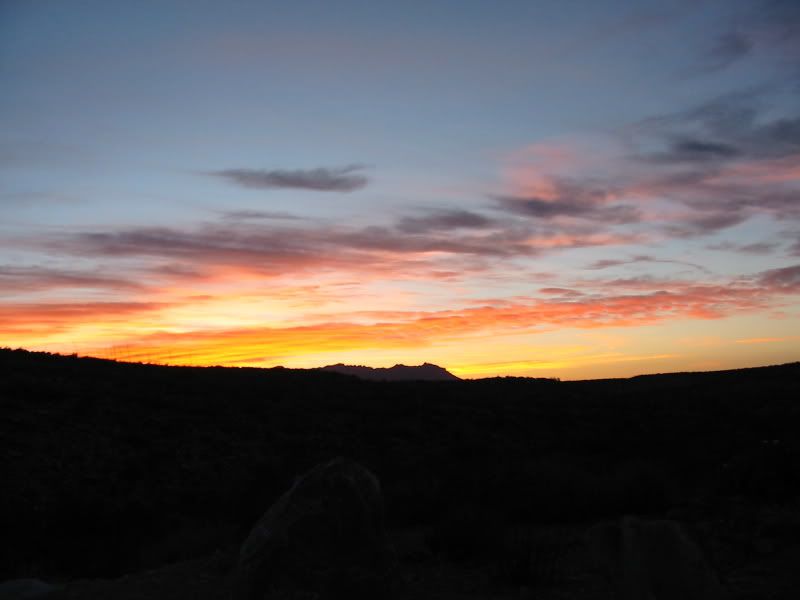
At night: Find Polaris if the sky is clear and orient your map...or use your compass. Take a bearing and plot a course to your town with the silo. If you are within 18 miles of any other town, you'll see the sky glow. Plot bearing to what you can see, find it on the map, plot it. X marks the spot.
If there is no sky glow, then you are somewhere on that line to your silo, and all you need to do is tighten up "latitude". Use your compass as an angle finder (turn it on its side like a protractor, piece of thread and a weight for a plumb-bob), and again, site Polaris. You'll then have a "loose" longitude to approximate on your map. Mark your town bearing at 5 miles...there your are! (about)
All that is trickier in the daytime because you are working with the sun to to find your latitude.
For hiking, finding a loose latitude can be pointless because you'll be off by miles....you can find degrees, but not minutes and seconds, with a pocket compass, anyway.
Your give away is the "about 5 miles" part. You really only need to plot a course on your map and mark it at 5 miles.


 Previous Topic
 Index
Index


