kevonionia
member
Registered: 04/17/06
Posts: 1322
Loc: Dallas, TX
Did a hike up to the top of Mt. Sherman (14,036') yesterday (9/8), and here's a post of a few pix from this excellent dayhike.
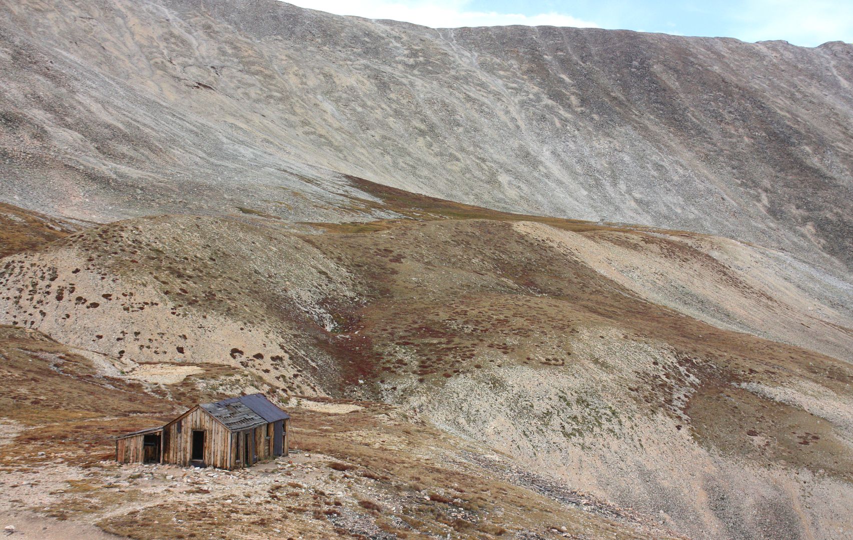
The "usual" trailhead for this 'easy' 14er is from the locked gate below the old Prospector's Mine, shown here with the narrow-gauge tracks still intact.
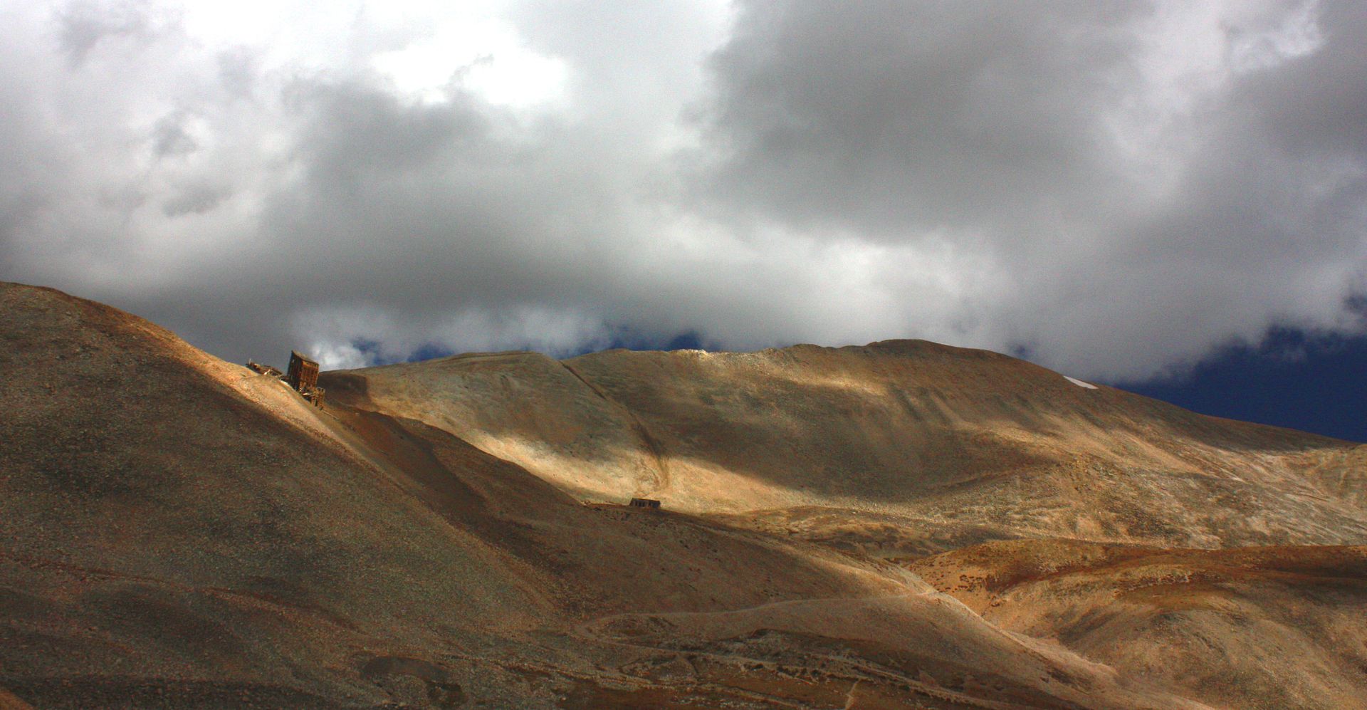
Looking up at the Hilltop Mine, with the ridge up to Mt. Sherman above it and to the right.
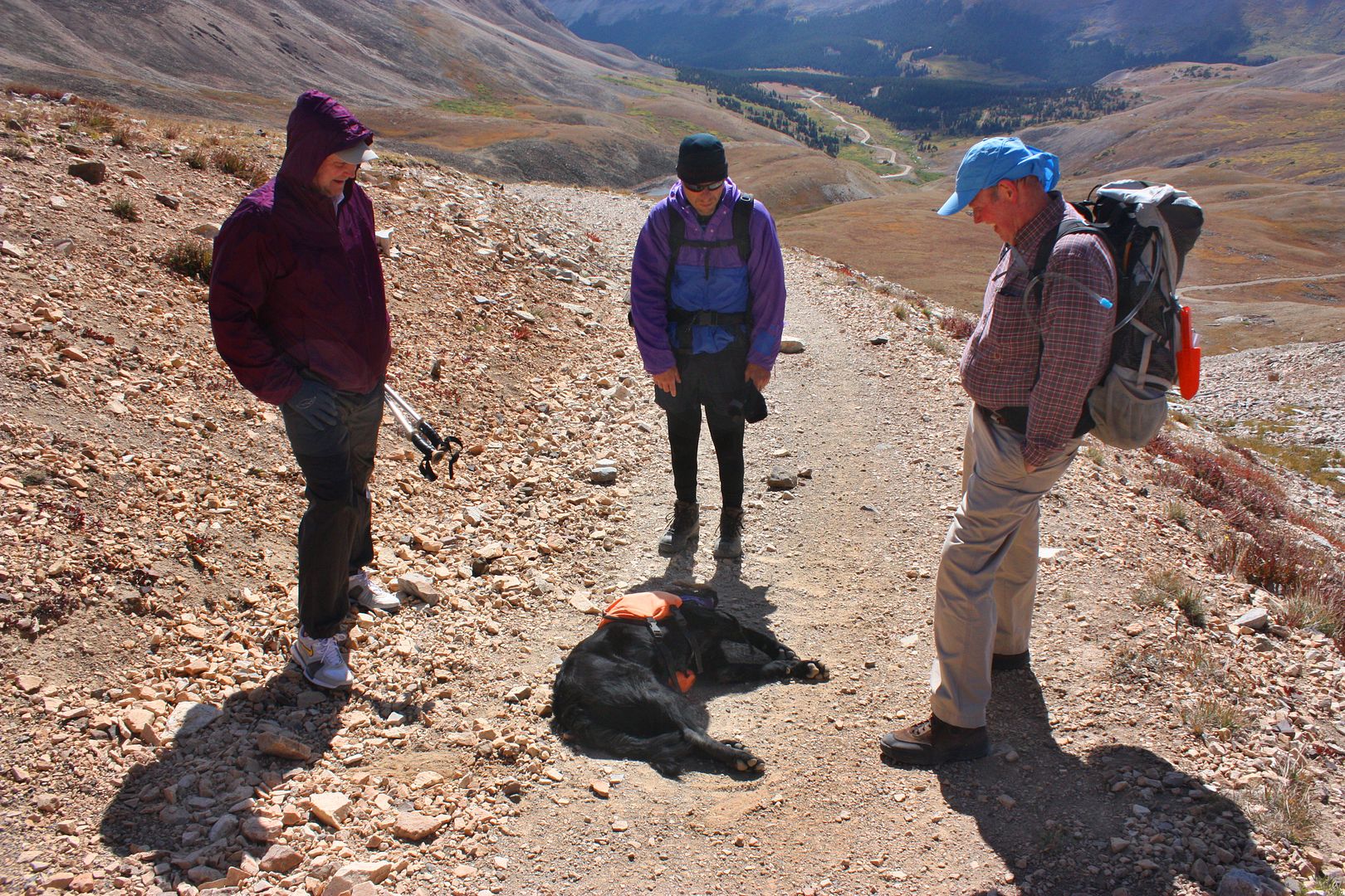
On the trail up. See my 9/9 post in the "Big Dogs and Weird Owners" thread in General Discussion for an explanation of this image.
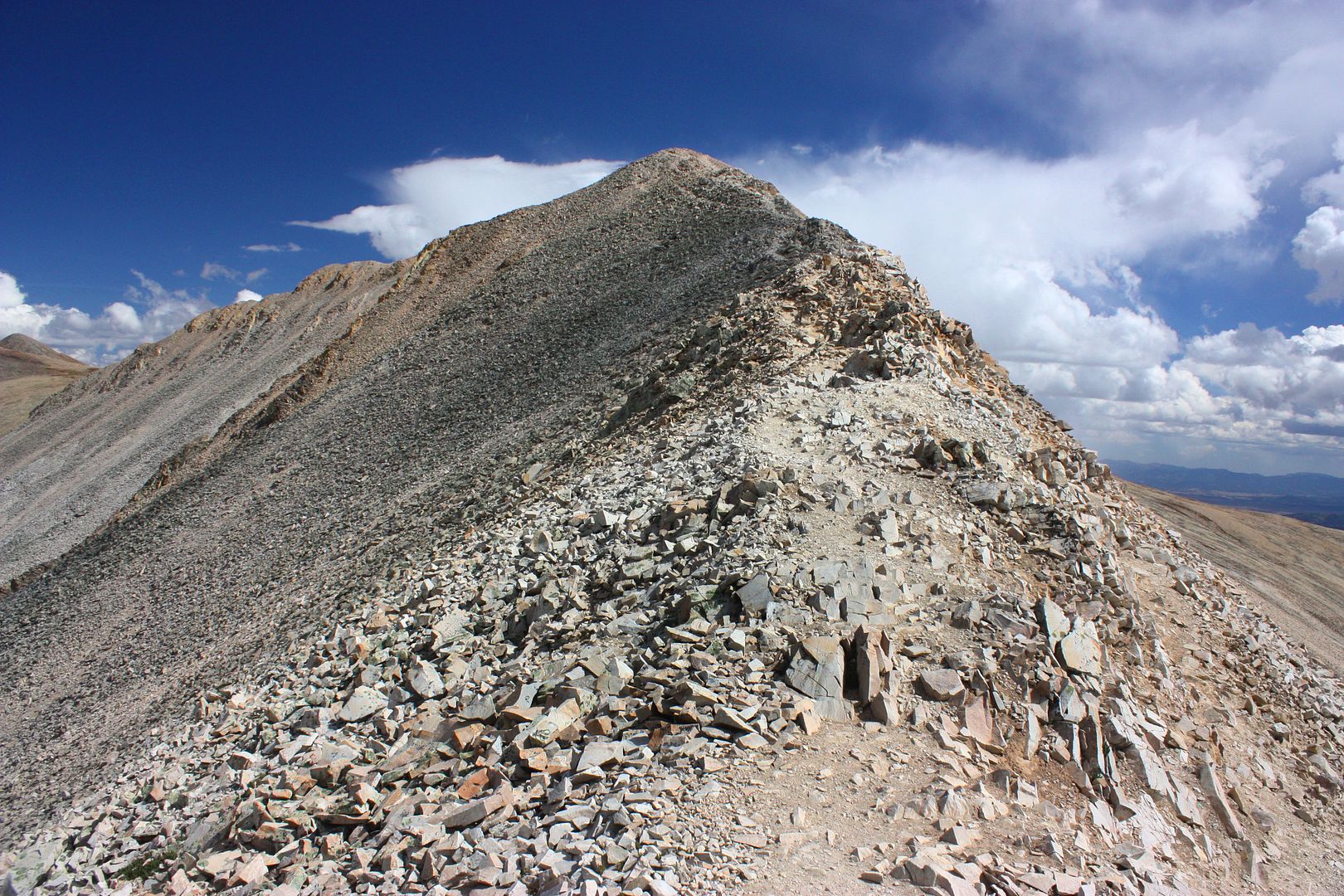
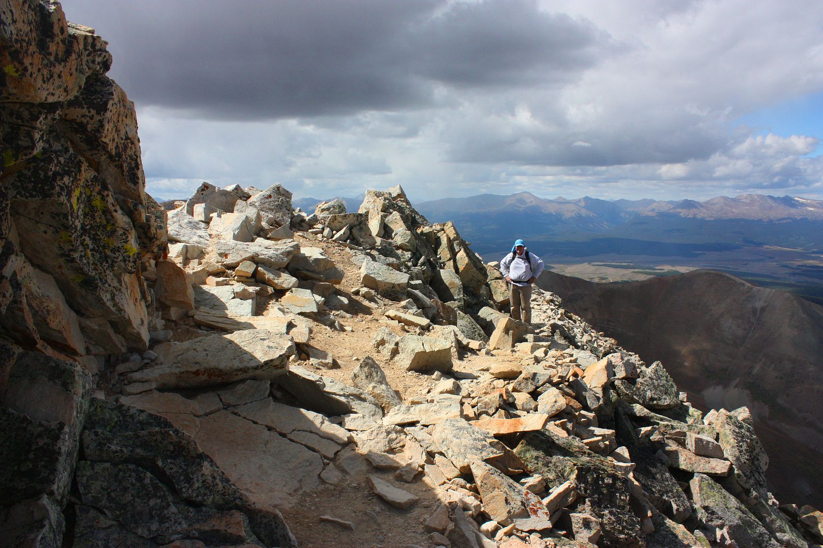
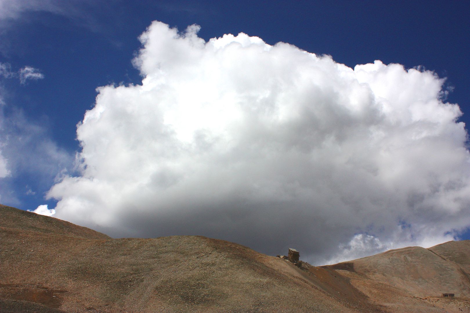
After reaching the saddle between Mt. Sherman & Sheridan, the trail heads up the ridge to the false summit. The actual highpoint is right below the finger of the cloud anvil.
It was a cool, windy hike up the slabs of rock on the ridge.
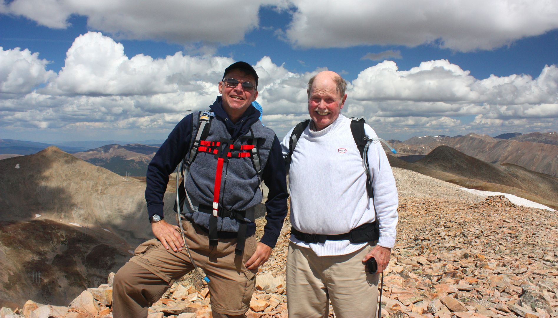
At the summit, kevonionia (l) and JJ (r). I was trying out my new GoLite Pinnacle on the hike -- I love it. That's the keyhole camera holder (black thing with red straps) that I switched over to my new pack.
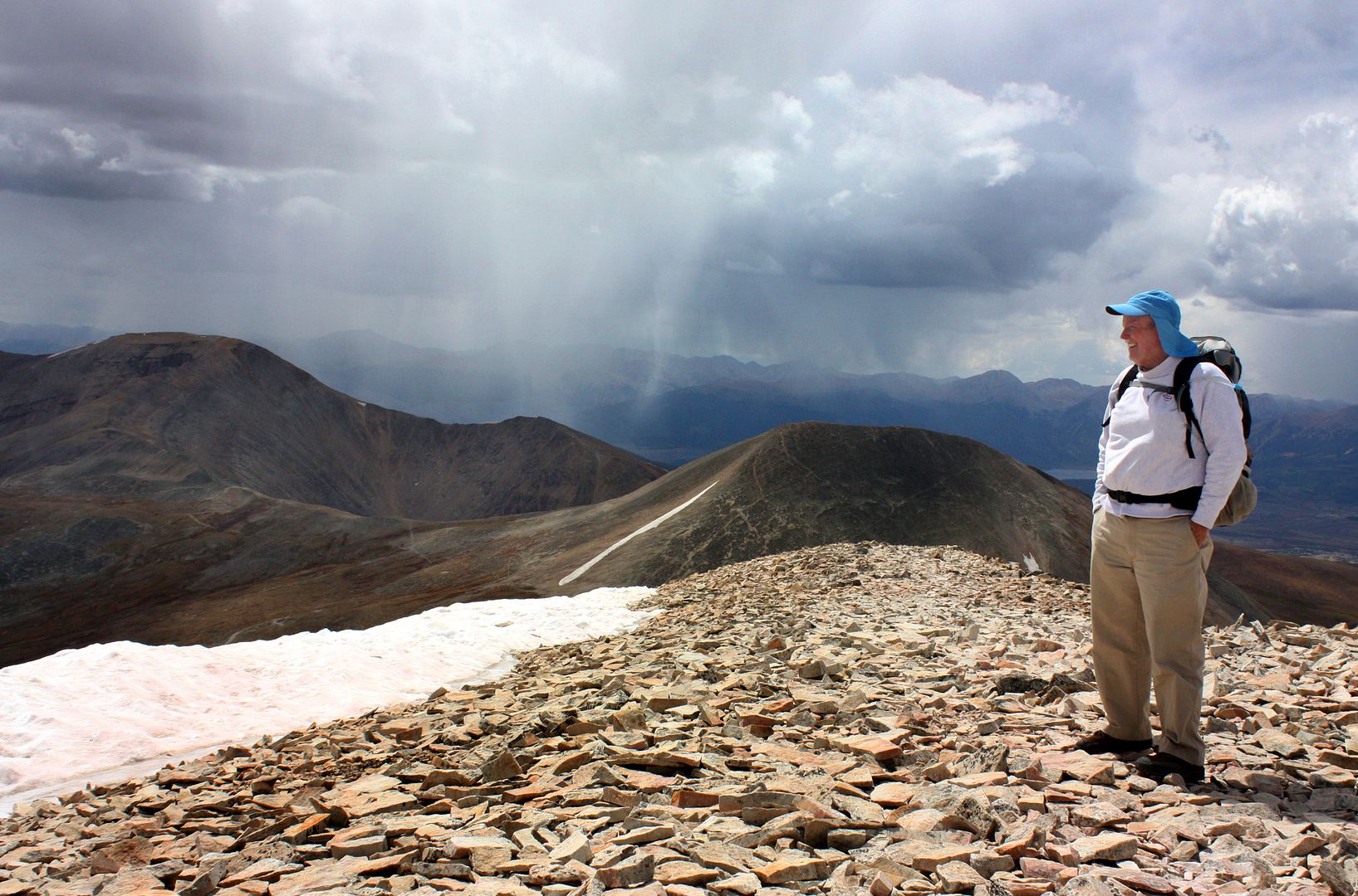
Rain coming in as we head down. We lucked out and got back to the truck a minute before it let loose.
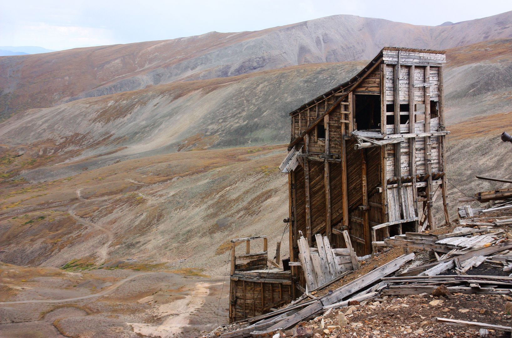
I had the time to stop and take pix on the way down. The mine ruins and shafts are everywhere, making this a scenic hike.
Miner's building with White Ridge Behind.
Afternoon storm coming up behind the Hilltop Mine tram building.
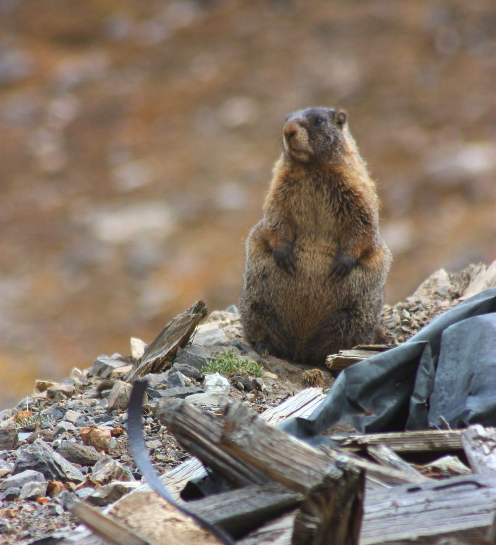
A marmot popped his head up amidst the mining junk at the Prospector's Mine on the way down. Looks like he's had one too many grubstakes (or is it grubsteaks?)
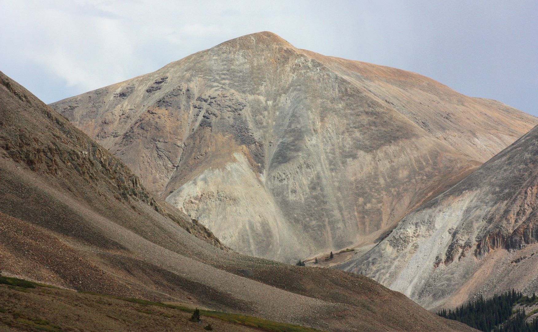
Unknown peak (not on my quad map, bet food or Dondo know) looking down 4-mile Creek at hike's end.
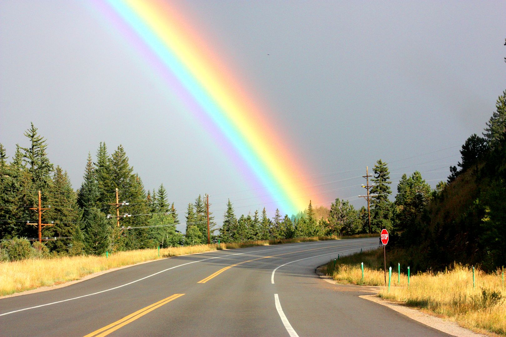
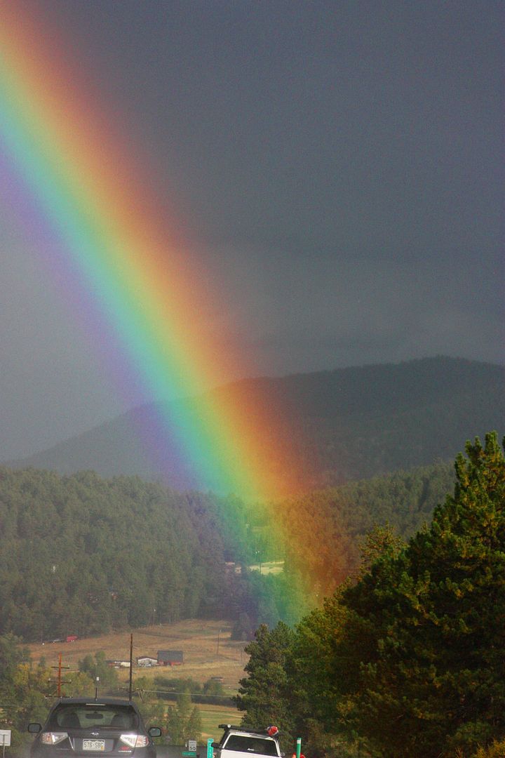
Intense rainbow as we chase the storms over the Front Range heading back to Denver.
I recommend this Mt. Sherman hike for anyone looking for a short, fairly easy hike to the top of a 14er.
#120639 - 09/10/0902:23 AMRe: Shufflin' up Sherman
[Re: phat]
kevonionia
member
Registered: 04/17/06
Posts: 1322
Loc: Dallas, TX
MSN & phat:
Busted . . . twice.
By taking the 4WD road up to the gate near the mine, it's only a 5.5-mile RT trek to the summit. The trailhead is at 12,520 feet starting at that gate, and that's a 1,500' foot elevation gain. So technically, with only a 1,500' gain, this doesn't meet Gerry Roach's 3,000-foot gain requirement to be a "legal" ascent of a 14er. (I should have had JJ let me out at 11K' and I could have jogged alongside his truck to the gate to be "legal." Nahh.
Concerning the rainbow, I did "enhance" the color saturation, but only a little, on the pic. I try to get the photo to look as close to what I remember as I can. The three of us in the car said this was the most intense rainbow we had ever seen since our first backpacking trip together near Santa Fe back in 1987.
But here we were following the storm east, sun slanting in at our backs, so it lasted for at least 25 miles -- often an end-to-end double rainbow. Many people had pulled over and were out of their cars gawking at it.
#120676 - 09/10/0908:03 PMRe: Shufflin' up Sherman
[Re: Trailrunner]
phat Moderator
Registered: 06/24/07
Posts: 4107
Loc: Alberta, Canada
What always amazes me when in Colorado is the Rockies.. With less (no) glaciers whacking on them while they are actually TALLER than the ones I'm used to they have such a different look than the peaks in my rocky mountains.. and I know it's the same darn range... The mountains there look deceptively rounded compared to home.
Our long-time Sponsor, BackcountryGear.com - The leading source for ultralite/lightweight outdoor gear:
Affiliate Disclaimer: This forum is an affiliate of BackcountryGear.com, Amazon.com, R.E.I. and others. The product links herein are linked to their sites. If you follow these links to make a purchase, we may get a small commission. This is our only source of support for these forums. Thanks.!


 Previous Topic
 Index
Index


