Posted by: skcreidc
Part 2 Report for Ruskie Pass - 01/10/11 03:09 PM
Still learning how to do this. Sorry about the learning curve. I DID figure out I have too many (full size) photos. Here is Part Deux.
Day 6, September 2
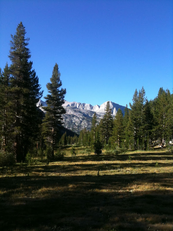
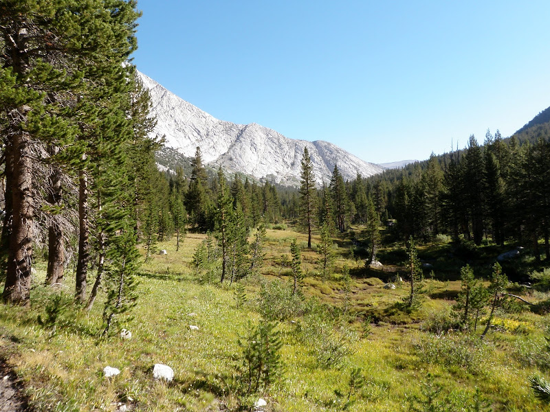
Today the goal is to continue off trail up and over Ruskie Pass (el 12,075 ft) and then past Merriam Lake to French Canyon. This time I load up Tica's pack onto mine and leave the leather booties off for better grip. It is not too bad going up. Head straight towards the pyrimid shaped peak until the area to the left opens up to you. Just before the saddle on the west side, there is a great spot to collect more water.
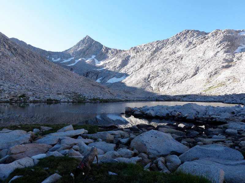
There is a third class section going down the east side to the snow pack. Mike and Tess are intimidated by it at first and want to look for another way down. So we look. There is a loose talus slope on the northerly side of the pass and I take off my pack to have a closer look. Holding onto the rock, I put nearly my full weight on the closest portion of the slope. The whole area, including 2 large boulders, moves slightly under my feet. The other way is a LOT safer. Besides that, I tell them, I brought rope just for this section. Mike, Tess, and TIca get down using the rope. In the photo, I am getting Tica ready to lower down using the backpack and rope in combination to carry her weight and keep her from flipping. She is not happy, but does it with no problem. It is an easy climb down (short layback section). The whole affair takes over an hour.
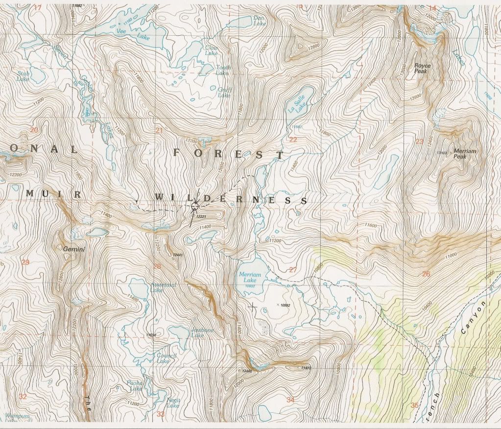
Collecting water just below the pass on the west side.
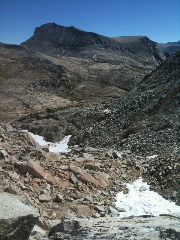
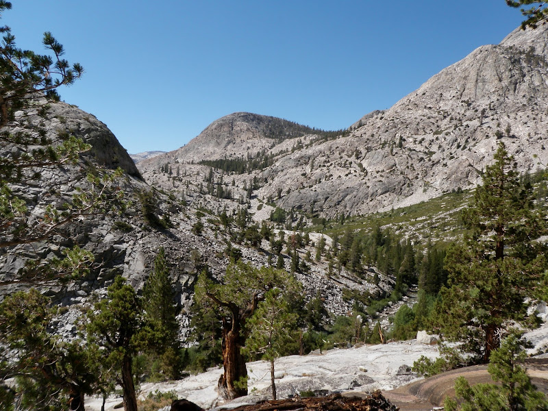
Looking east from Ruskie Pass.

Getting ready to lower the dog down
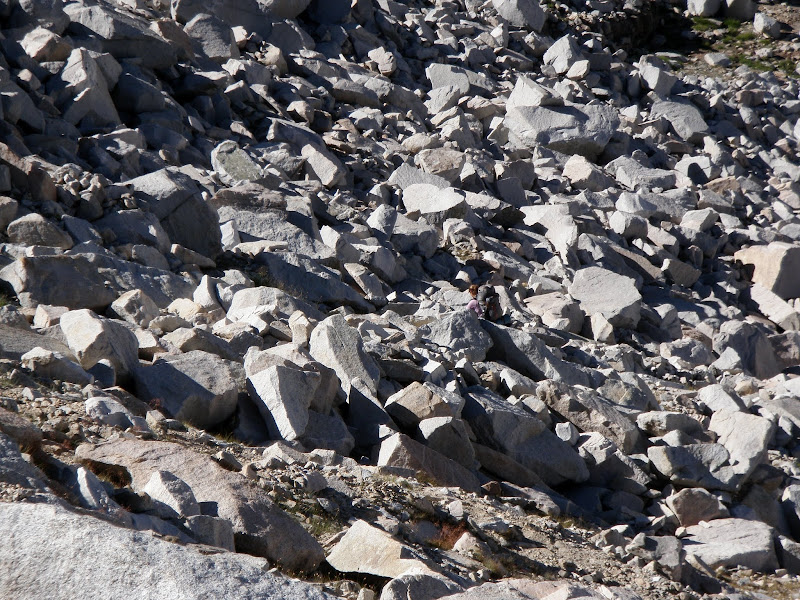
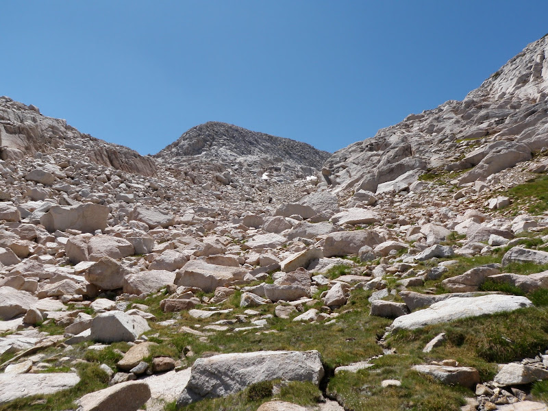
When we hit the snow pack, Tica celebrates like a lunitic. I tell the other two to follow my steps down and I stomp my way down. It takes a long time for Mike and Tess to get down to the flat area. They are very cautious but mentally doing fine, so we just take our time. We have actually worked our way to the northeast during this time and now we need to head south towards Merrium Lake.
That is where we came from.

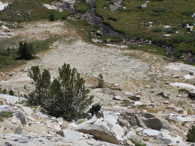
Heading towards Merrium Lake.
Last step to Merrium Lake.

Merrium Lake
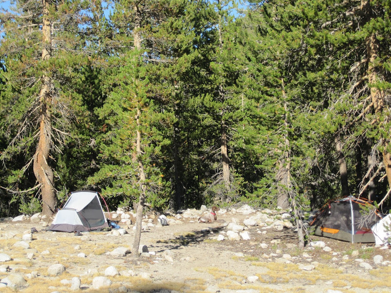
This section is easy and we were making good time now. I have been by Merrium Lake (el 10,932 ft) before and I was hoping to actually fish in Merrium Lake this time. But, we had used up too much time on the pass. It was time to put the booties back on Tica and head on down to French Canyon. We immediately find a nice campsite next to water and set up camp (el 9,900 ft). Sigh...a small herd of mules came in a dusk. They appeared to have liked that spot also.
French Canyon Campsite.
Day 7, September 3
Today is all on trail and we eventually join up with the jmt again. The goal is the Muir Trail Ranch and the hot springs; 11 miles till we get there. Mostly downhill, we head from French Canyon to Piute Canyon and follow Piute Creek to where it joins the south fork of the San Joaquin River. From there we head west towards Florence Lake. Once we get to Muir Trail Ranch, we have completed our loop and only have about 5.5 miles to get to the lake tomorrow.
Heading out along French Canyon.

Day 8, September 4
We fly hiking out in the morning to get to the 9:30 am ferry. Mike is moving the fastest I have seen him. Everybody but me is ready to leave. We are on the road again soon and actually make it back to San Diego before the sun sets. I am not sure if Mike and Tess will go to the Sierra with me again...at least not if it is off trail.
Day 6, September 2
Today the goal is to continue off trail up and over Ruskie Pass (el 12,075 ft) and then past Merriam Lake to French Canyon. This time I load up Tica's pack onto mine and leave the leather booties off for better grip. It is not too bad going up. Head straight towards the pyrimid shaped peak until the area to the left opens up to you. Just before the saddle on the west side, there is a great spot to collect more water.
There is a third class section going down the east side to the snow pack. Mike and Tess are intimidated by it at first and want to look for another way down. So we look. There is a loose talus slope on the northerly side of the pass and I take off my pack to have a closer look. Holding onto the rock, I put nearly my full weight on the closest portion of the slope. The whole area, including 2 large boulders, moves slightly under my feet. The other way is a LOT safer. Besides that, I tell them, I brought rope just for this section. Mike, Tess, and TIca get down using the rope. In the photo, I am getting Tica ready to lower down using the backpack and rope in combination to carry her weight and keep her from flipping. She is not happy, but does it with no problem. It is an easy climb down (short layback section). The whole affair takes over an hour.
Collecting water just below the pass on the west side.
Looking east from Ruskie Pass.
Getting ready to lower the dog down
When we hit the snow pack, Tica celebrates like a lunitic. I tell the other two to follow my steps down and I stomp my way down. It takes a long time for Mike and Tess to get down to the flat area. They are very cautious but mentally doing fine, so we just take our time. We have actually worked our way to the northeast during this time and now we need to head south towards Merrium Lake.
That is where we came from.
Heading towards Merrium Lake.
Last step to Merrium Lake.
Merrium Lake
This section is easy and we were making good time now. I have been by Merrium Lake (el 10,932 ft) before and I was hoping to actually fish in Merrium Lake this time. But, we had used up too much time on the pass. It was time to put the booties back on Tica and head on down to French Canyon. We immediately find a nice campsite next to water and set up camp (el 9,900 ft). Sigh...a small herd of mules came in a dusk. They appeared to have liked that spot also.
French Canyon Campsite.
Day 7, September 3
Today is all on trail and we eventually join up with the jmt again. The goal is the Muir Trail Ranch and the hot springs; 11 miles till we get there. Mostly downhill, we head from French Canyon to Piute Canyon and follow Piute Creek to where it joins the south fork of the San Joaquin River. From there we head west towards Florence Lake. Once we get to Muir Trail Ranch, we have completed our loop and only have about 5.5 miles to get to the lake tomorrow.
Heading out along French Canyon.
Day 8, September 4
We fly hiking out in the morning to get to the 9:30 am ferry. Mike is moving the fastest I have seen him. Everybody but me is ready to leave. We are on the road again soon and actually make it back to San Diego before the sun sets. I am not sure if Mike and Tess will go to the Sierra with me again...at least not if it is off trail.