Posted by: wandering_daisy
Wind Rivers: Torrey Creek to Eklhart Park - 01/22/08 01:48 PM
This mid- to late August trip was my last trip in the Wind River Mountains in 2008. In spite of being in great shape by now, the packs with 11 days food still seemed heavy. It was a low snow year and late in the season so my friend from Lander and I left the ice axes and crampons behind but added some more clothing.
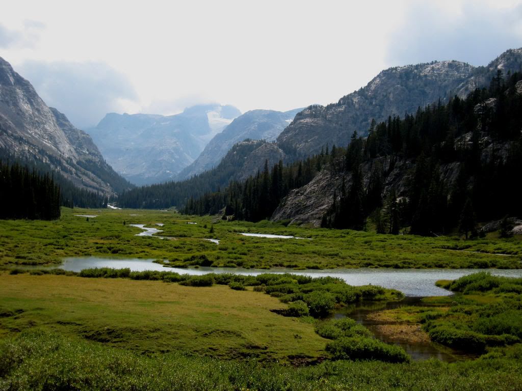
Day 1 (5miles, 2,500 feet): We drove to Torrey Creek trailhead from Lander and were on the Glacier Trail by 9:30 AM and reached the Williamson Corrals at 2:00 PM in time for the afternoon storm. Overall, it was an uneventful day.
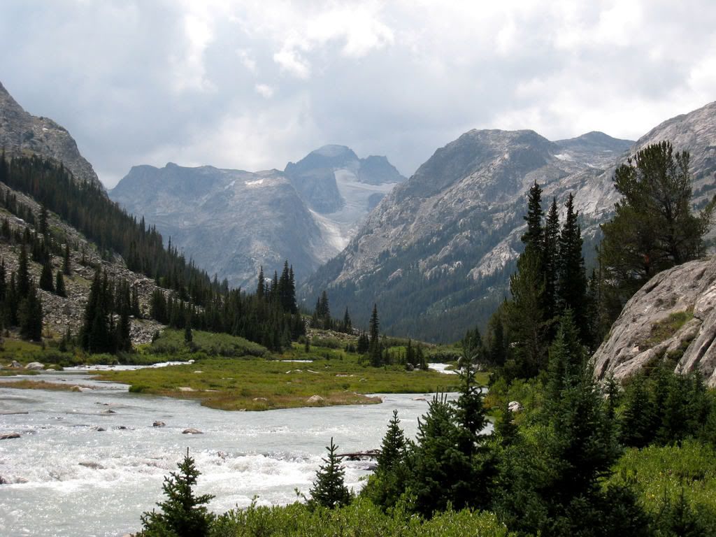
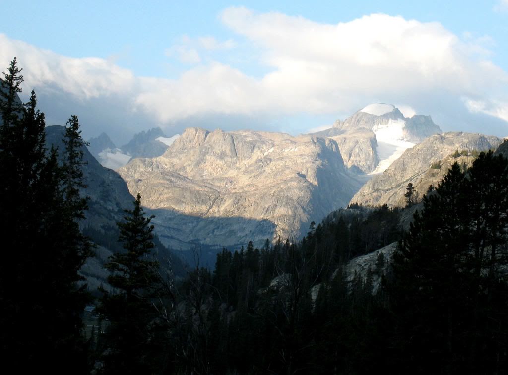
Day 2 (13.2 miles, 1,800 gain): Our objective was hike in fast on the trail. We met several groups, most on horseback, coming out and none had successfully climbed Gannett Peak. It spit rain all day. Tired, we arrived at the Ink Wells Trail Junction at 4:30, weather had cleared, and we found old horseshoes so played a few games before dinner.
http://s249.photobucket.com/albums/gg233...028_FWilson.jpg
Day 3 (day-hike, 4.5 miles, 800 feet): I wanted to find a route to Klondike Lake following a string of lakes on a bench above Dinwoody Creek. We started out at 8:00 and first try ended up stopped by cliffs and brush and had to backtrack, finally finding a suitable route. When we arrived at the lake below Klondike Lake clouds were building and we decided to go back. I wanted to see if descending Klondike Creek would work. It was horrible, but we got down – definitely not the way to go. We were back at camp at 2:30 and relaxed in tent while it rained.
http://s249.photobucket.com/albums/gg233...e2_Klondike.jpg
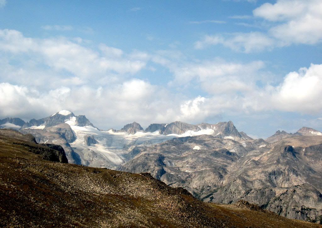
http://s249.photobucket.com/albums/gg233...lson_Gannet.jpg
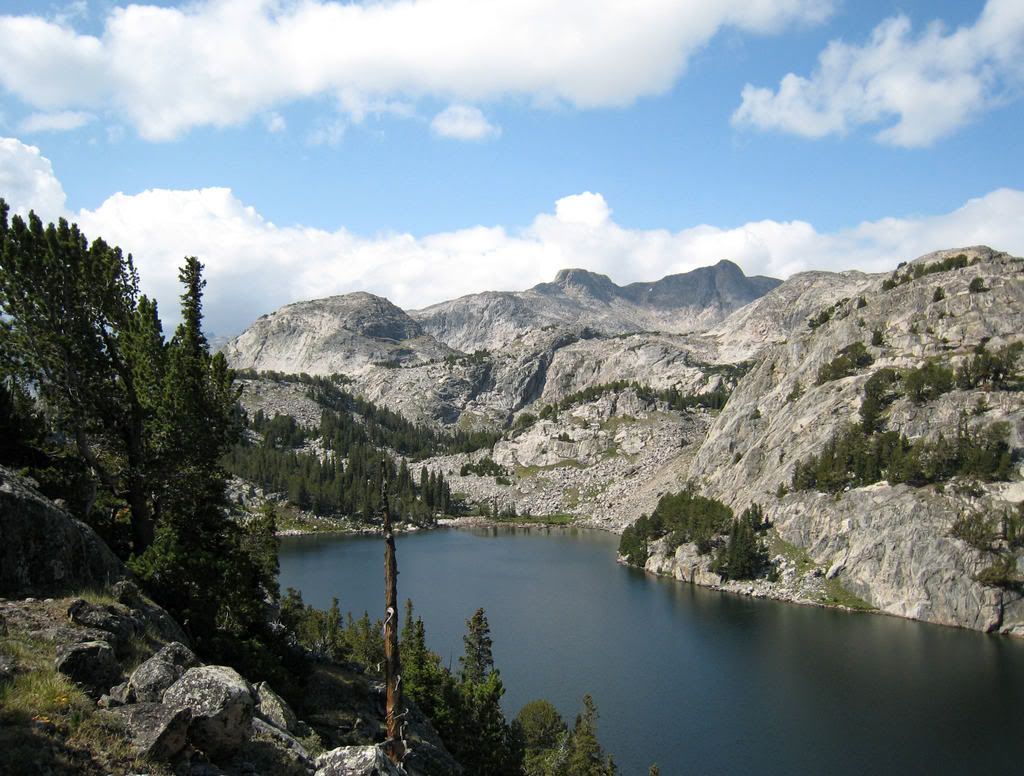
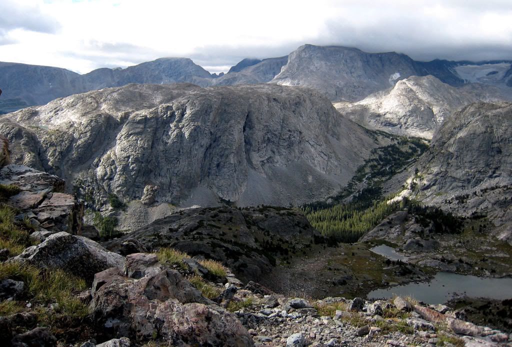
Day 4 (8.5 miles, 3,000 feet gain): We were off by 7:45 knowing that we simply had to be off Horse Ridge before storms hit. We spooked an elk along the trail. At 9:00 AM we left the Ink Wells Trail at Echo Lakes and climbed to Horse Ridge and traversed this huge plateau at 12,000 feet for 5 miles. It was very windy and mostly grass and boulder hopping. The drop into Don Lake was tricky and we luckily camped at a very sheltered spot at 2:00 PM. It rained from 3:00 onward. I caught a 12-inch trout the first cast and we cooked it in the rain.
http://s249.photobucket.com/albums/gg233...029_Gannett.jpg
http://s249.photobucket.com/albums/gg233...tt_HorseRdg.jpg
Day 5 (7 miles, 500 feet): We were startled in the morning to observe water flying through the air horizontally a few hundred feet from our tent! The wind was picking water from Don Lake and transporting it past us. The wind died down and we took a day-hike to the upper lakes in the basin. This is a hot fishing area and we met three other groups of people who had walked in from Cold Springs on the trail. We were the only ones who off-trail hiked over Horse Ridge. At noon we packed up and headed off-trail to Rock Lake, following many game trails. Again we had to find a sheltered campsite.
http://s249.photobucket.com/albums/gg233...reek_merged.jpg
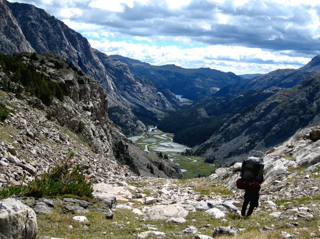
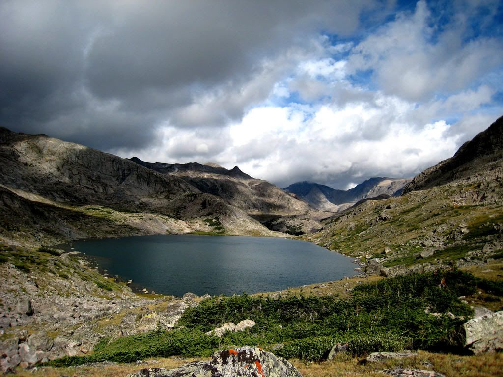
Day 6 (5 miles, 1,700 feet gain): It blew all night and we awoke to fast moving rain squalls. We left camp at 8:20 and were on Indian Pass in an hour. Weather had improved. The descent on the south side was tedious steep talus. Soon we followed very distinct game trails (covered in solid elk droppings). We had descended from 12,000 feet to 9,800 feet to the North Fork of Bull Lake Creek. It was too timbered and swampy to camp down here so we headed up Knifepoint Creek and camped at tree line. Arriving early we enjoyed relaxing in the now sunny afternoon.
http://s249.photobucket.com/albums/gg233...SFork_DryCr.jpg
http://s249.photobucket.com/albums/gg233...t=058_NFBLC.jpg
http://s249.photobucket.com/albums/gg233...BLC_closeup.jpg
http://s249.photobucket.com/albums/gg233...t=064_NFBLC.jpg
Day 7 (6.0 miles, 1,300 feet gain): Although not a long day in miles, this was a crux, going over a very difficult pass. (Bloody Hell Pass – where a solo hiker who was a preacher got pinned under a rock and slowly died of dehydration). My partner had been on the SAR and we were definitely a bit freaked. We made it over the worst but still were caught in a downpour before we reached camp at the Brown Cliffs. It started to groppel at 4:00 and soon sleet started coming down until dark. I could see stars by midnight and it froze hard.
http://s249.photobucket.com/albums/gg233...3_Lake10730.jpg
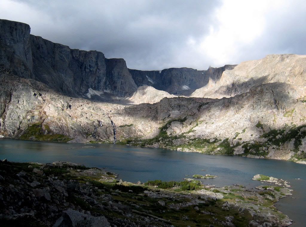
Day 8 (1.5 miles plus 4 mile day trip): We awoke to sun and watched fog roll up the valley enfolding us. We headed out and soon found the old trail and reached Lake 10,239 where we met several goat packers and another group. We set up camp, bathed and then took a late day hike up to Alpine Lakes, climbing an unnamed hill that had a fantastic view. It rained again after we were back in camp, but just a light mist.
http://s249.photobucket.com/albums/gg233...BrownCliffs.jpg
http://s249.photobucket.com/albums/gg233...akes_merged.jpg
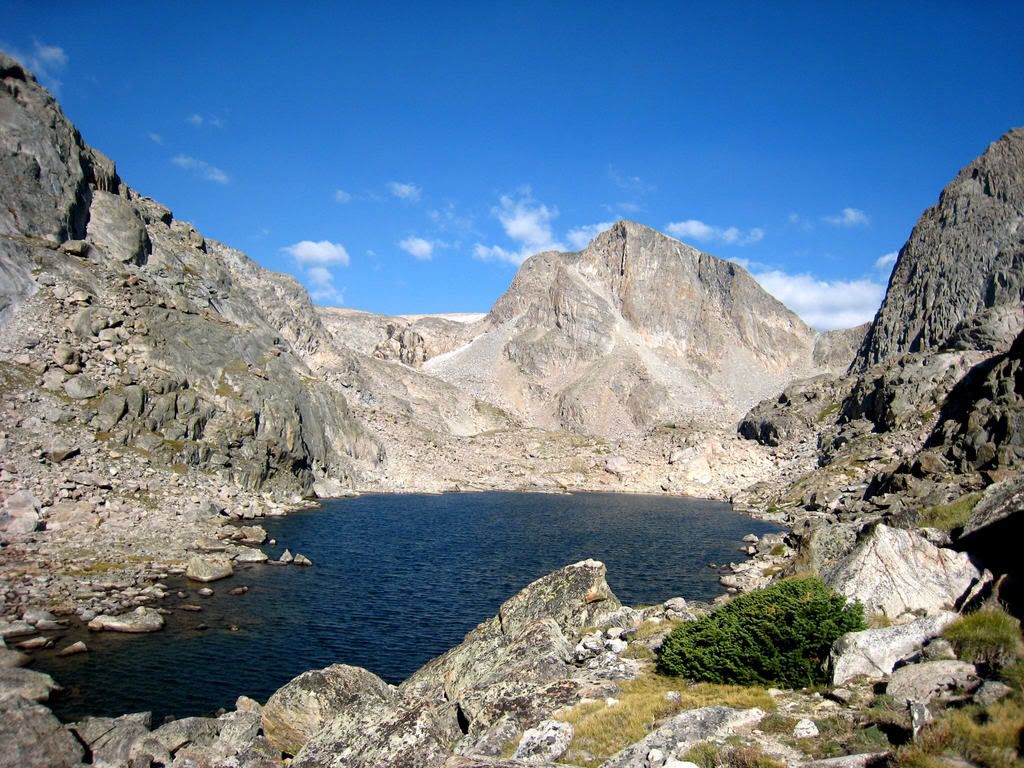
Day 9 (8 miles, 2,300 gain): Today we went over the Continental Divide. I had never done this route and armed with information from a group who had come in that way, we were able to find a reasonable alternative that was a bit technical but quick. We were getting low on food, and an old toothless fellow we met at Camp Lake wanted to get rid of food so gave us several energy bars. What good luck! After 6 hours of backpacking we arrived at Wall Lake. We had planned on going to Island Lake but decided to stop. I went fishing and did not catch anything, but a goat packer gave me a zucchini and carrot so I did not come back to camp empty handed. The fresh vegetables were better than any fish! Maybe we just looked hungry – people we met were giving us food right and left!
http://s249.photobucket.com/albums/gg233..._below_pass.jpg
http://s249.photobucket.com/albums/gg233...e10488_crop.jpg
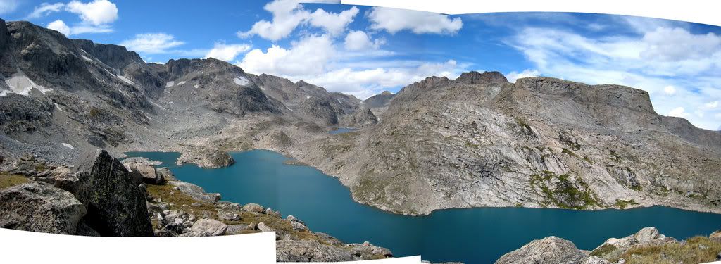
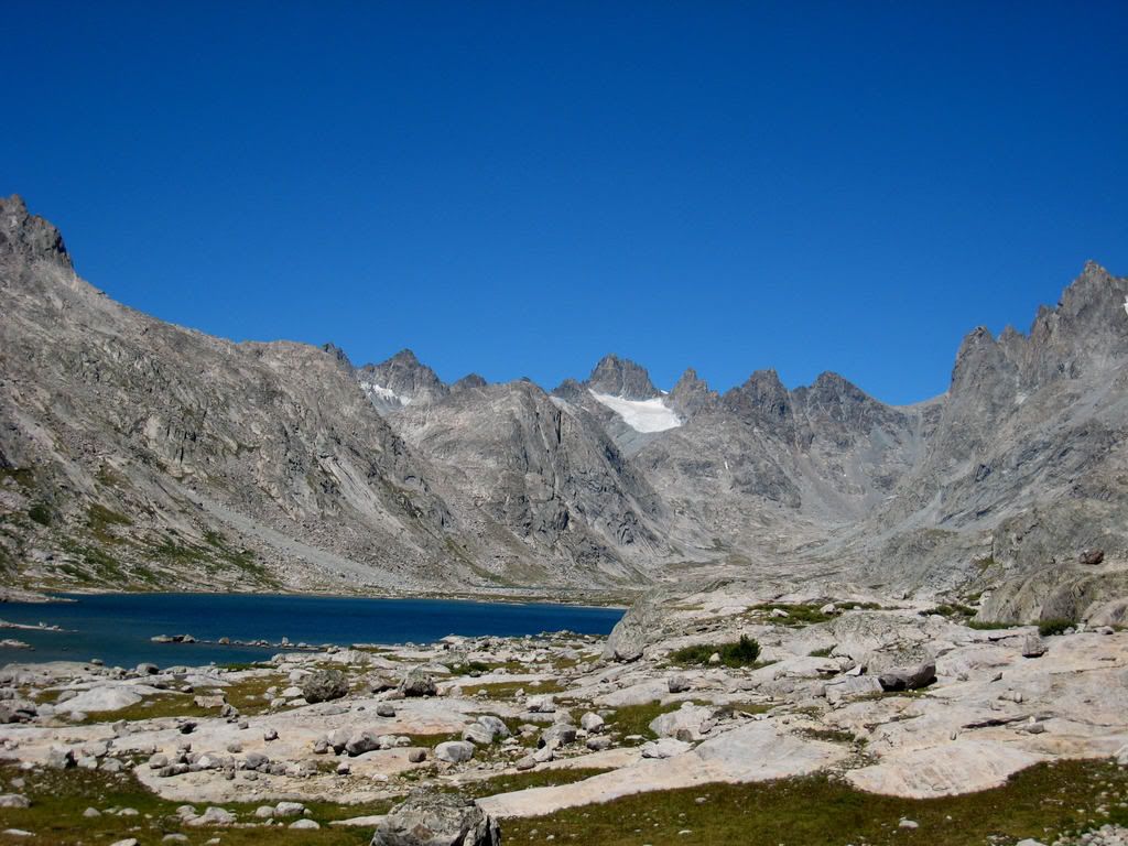
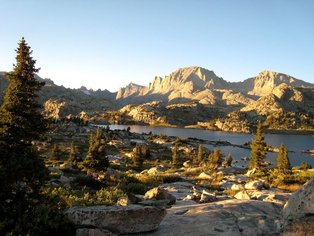
Day 10 (2.8 miles, 800 feet gain + 5 mile day hike): We made the short hike to Island Lake, set up camp and took off to explore Titcomb Basin. This is a popular area and we met several people. That evening we had an amazing sunset.
http://s249.photobucket.com/albums/gg233...Island_Lake.jpg
http://s249.photobucket.com/albums/gg233...tcomb_Basin.jpg
http://s249.photobucket.com/albums/gg233...set_Titcomb.jpg
Day 11 (9.2 miles, 500 gain): It was hoof it out the trail. We decided to stop at Miller Lake 3 miles short of Elkhart Park for one last evening in the mountains. Of course, it rained! We met tons of people, goats, llamas and horse packers on the trail. This is perhaps the most popular trail in the Wind Rivers.
Day 12 (3.3 miles): We quickly hiked out to the second car we dropped off a month earlier before another trip and we were pleased when it actually started. After lunch in Pinedale, we took the Union Pass Road back to my car at Torrey Creek near Dubois. It started but had a flat tire. It was sure great to get back to a real shower and steak. Wouldn’t you know it – the day we got out the weather cleared!
